XGRIDS: Location to Virtual Set
A real location, walked and captured.
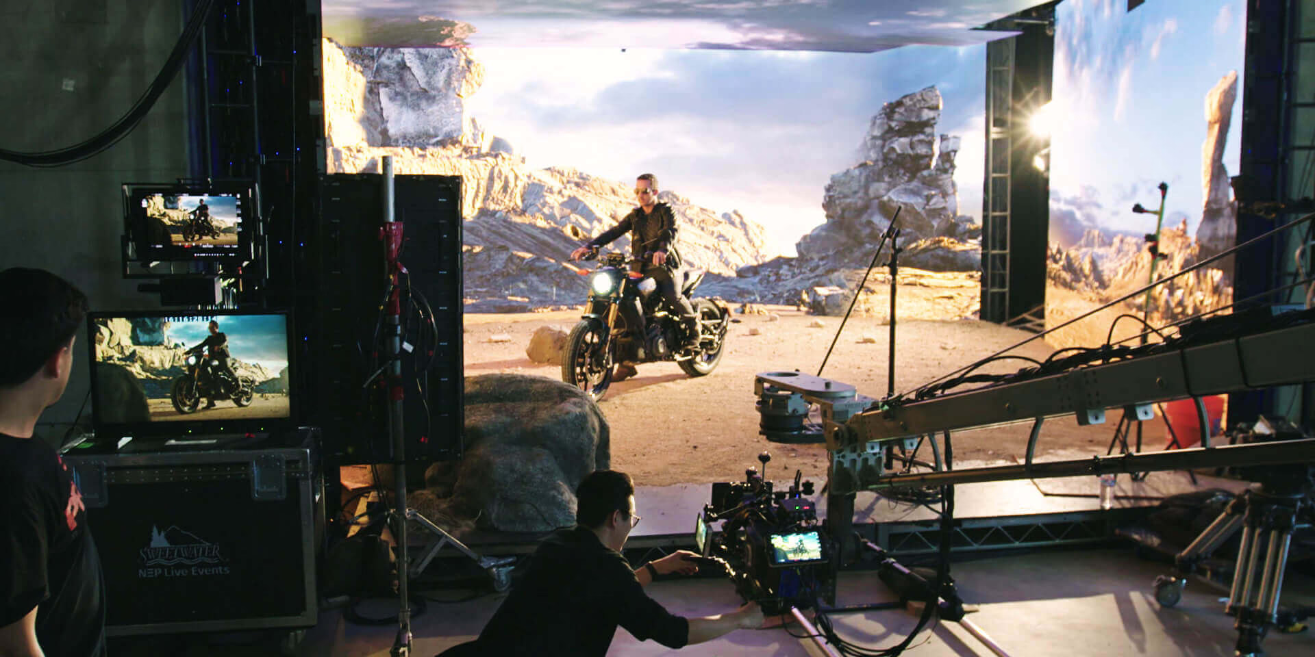
Handheld LiDAR captures a full location as you walk it. We take that capture through LCC Studio, out as a Gaussian splat, and onto the wall as a real-time environment.
The process
01Walk the location with the Lixel scanner
02Process the capture in LCC Studio
03Gaussian splat reconstruction
04Real-time environment on the wall
The scan
The Lixel L2 Pro produces both traditional point clouds and Gaussian Splatting reconstructions in a single handheld unit: 16 or 32 channel LiDAR, up to 640,000 points per second, and a range from 0.5 metres out to 300 metres depending on model. Three colour cameras and a high-precision IMU build a true-colour, accurate scan.
Why it holds up in production
- A scanned location drops straight into our virtual set pipeline.
- Gaussian splat output gives photoreal environments ready for the wall or the key.
- Faster than photogrammetry and grounded in real measurements.
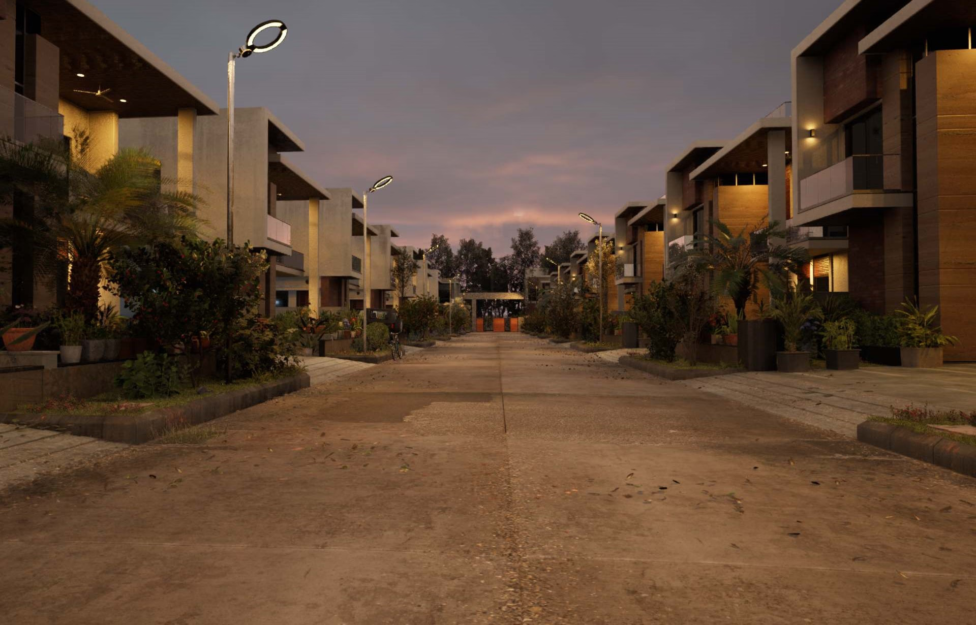
Scan on the left, set on the right
The capture and the finished real-time environment it became.
Next step
Describe the world you need, or ask about owning a scanner.